
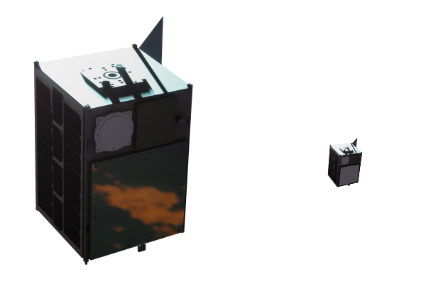
END-TO-END SMALL SATELLITE MISSIONS
We have the experience, technology, know-how, and capability to provide turnkey solutions that encompass the design, manufacturing and operation of your small satellites
Our Technology,
your Satellites,
your Mission
We support our clients, relying on our 100% success rate in the missions we participated in and our expertise, particularly in communication applications.
Whatever the type of mission, we guide you through each of your steps into space, from the initial idea to the launch and monitoring of your nanosatellite, microsatellite, or CubeSat constellation.
TURNKEY
SERVICES FOR
SPACE PROJECTS
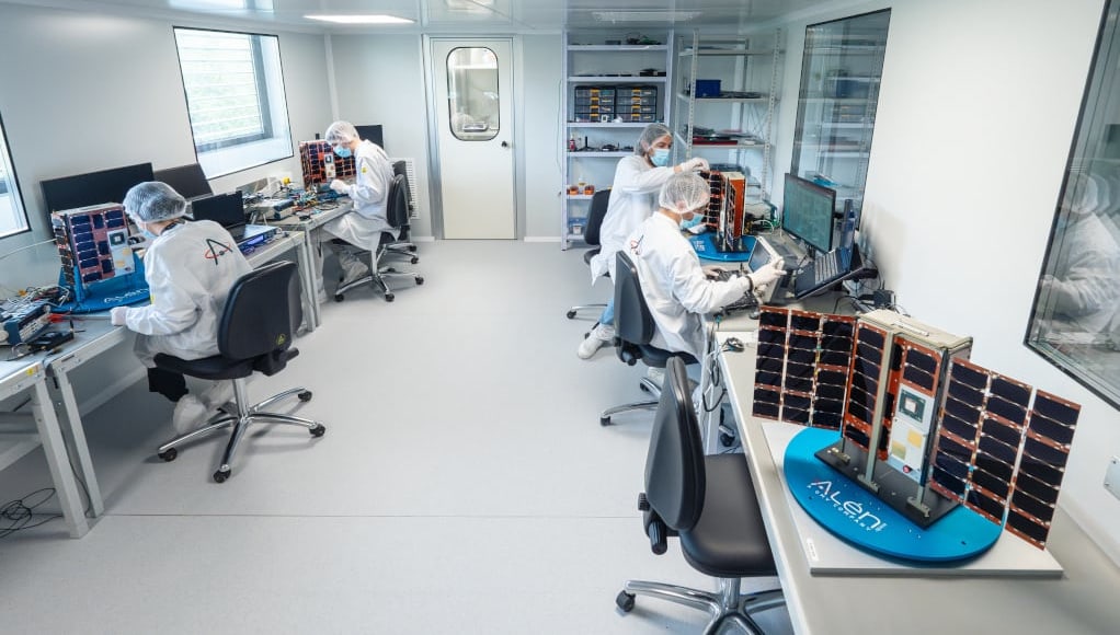
We have a high-quality working method tailored to meet the deadlines of your space project. A method grounded in the standards of the European Space Agency (ESA) and the European Cooperation for Space Standardization (ECSS).
How can we help you?


LET YOUR MISSION BEGIN